|
 |
Hi Tracers!
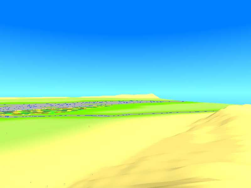
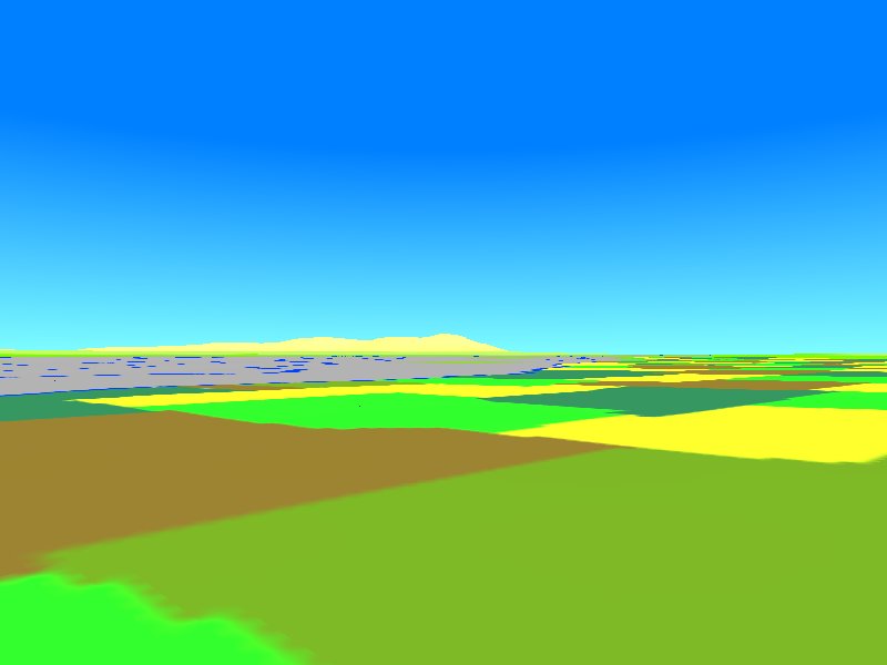
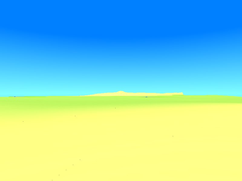
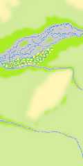
My first serious attempt at an Afghan landscape (to those of you
familiar with the country, it's the lower Arghastan plain about 30 miles
south-east of Kandahar...)... after weeks of arduous manual pixeling
work on a scanned b/w 1:300.000 topographic map of the area, I finally
got together a preliminary 16bit heightfield of 198 by 500 pixels, each
pixel representing a square with sides of 25.4 meters. Of course, I also
wanted a realistic surface texture - and that's where many problems
begin.
Firstly, as I have the ambition of constructing a virtual (pre-war)
Afghanistan scenery as authentic as possible, I'm desperately looking
for detailed photographs showing soil types, terrain formations,
vegetation, examples of single grasses, weeds and other plants etc. of
southern Kandahar province, not to mention specific human influences on
the landscape such as agricultural usage patterns, irrigation systems,
roads and tracks, traditional village architecture and many more... and
also inhabitants of both sexes and all ages, as in the more distant
future, I will populate my scanned map quadrant (finally, the
heightfield will measure 1863 x 2205 pixels... 4 million pixels to be
placed by hand, ouch!) with actual Afghans...
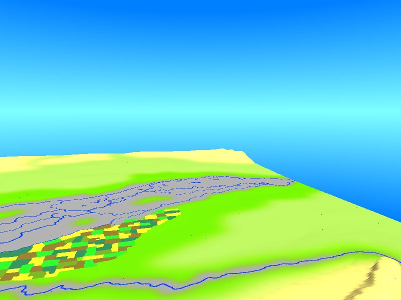
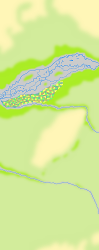
Also, it became soon clear to me that simple image_maps can't be the way
to get a proper texture for my landscape, even with my current image_map
at a resolution 10 times higher than the heightfield, each pixel is
still 2.54 meters, way too large for such fine structures like
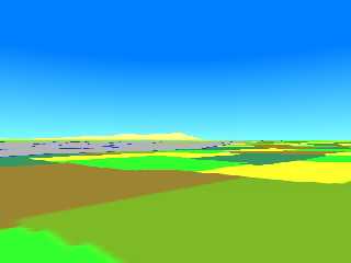
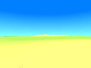
irrigation channels or narrow tracks between the fields (I attached a
small version of the image_map here). Because of the very different
finish properties of e. g. water and rock, I'll have to use texture
maps. And within these single textures contained in the map(s), I beginn
asking myself how to achieve special surface structures like chains of
shallow pools in the partially dry beds of temporary rivers (like the
Arghastan river which can be seen in the attached renderings),
alternating with still moist mud, cracked dry mud, accumulations of
pebbles or gravel, sand drifts etc. on a procedural basis. I even would
by ready to change to MegaPOV or PoV-Ray 3.5...
SEE YOU IN KHYBERSPACE!!!
(also: http://www.geocities.com/electricafghan/index-e.html)
Afghanistan Chronicle: http://www.ndh.net/home/bleimann/
Yadgar
Post a reply to this message
Attachments:
Download 'spinboldak0015.jpg' (28 KB)
Download 'spinboldak0016.jpg' (49 KB)
Download 'spinboldak0024.jpg' (25 KB)
Download 'spinboldak0025.jpg' (12 KB)
Download 'spin_boldak_texture_2001-12_demo.png' (50 KB)
Preview of image 'spinboldak0015.jpg'

Preview of image 'spinboldak0016.jpg'

Preview of image 'spinboldak0024.jpg'
Preview of image 'spinboldak0025.jpg'
Preview of image 'spin_boldak_texture_2001-12_demo.png'
|
|